Description
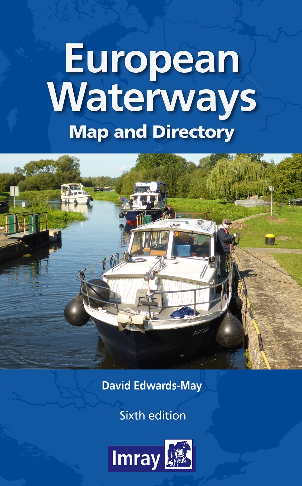
The 6th edition of this valuable reference map was published by Imray (UK) in February 2021.
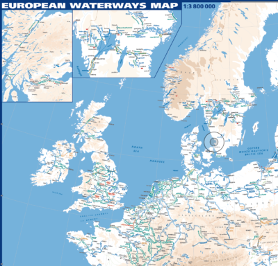
First side, Europe from Ireland and Portugal to the Caspian Sea – dimensions 1210 x 870 mm
Scale 1:3 750 000
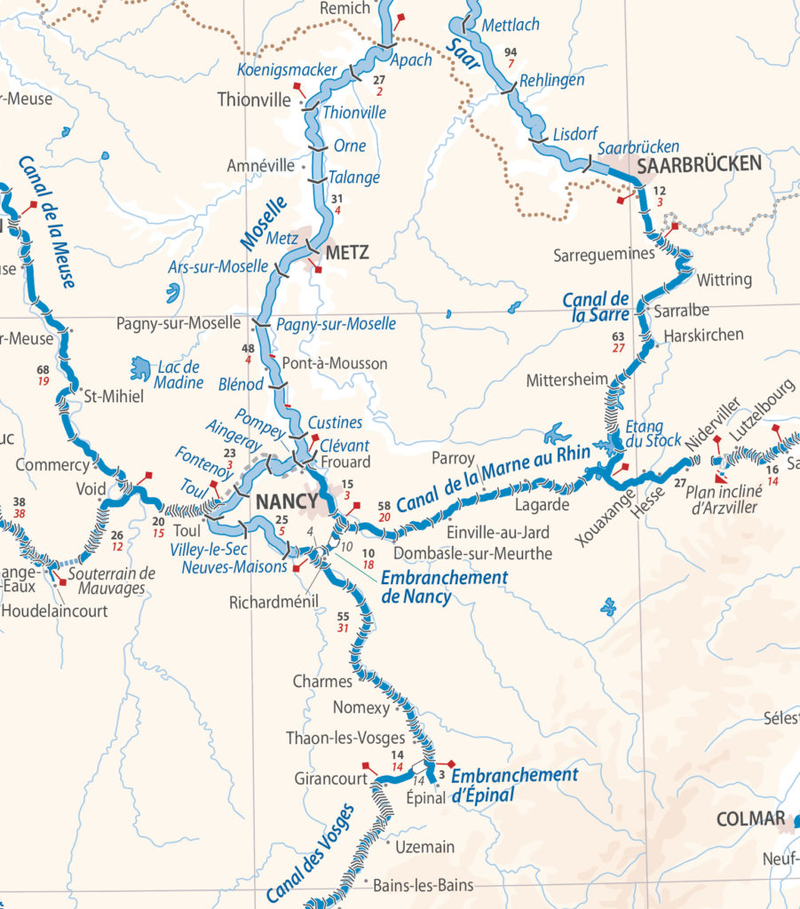
Enlargement on reverse, with unprecedented detail, covering Dublin to Bratislava on the Danube.
Scale 1:1 500 000
A separate inset shows all the waterways of the Netherlands, Belgium and Northern France, with sufficient detail for basic route planning.
Scale 1:1 000 000
The map is printed on high-quality, tear-resistant paper.
Folded in a stiff cover, 290 by 156mm, with 64-page directory by David Edwards-May; brief description of waterways in each country, followed by addresses of waterway authorities, boating associations, etc.
This product is shipped immediately on order!


